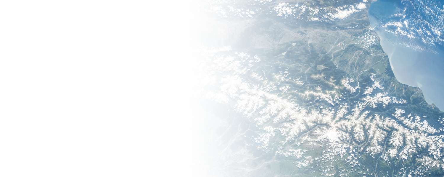
GET A CLEAR VIEW OF THE STRATEGIC AREAS THAT MATTER TO YOU.
Our flights provide access to precise plot observation data, high-resolution images enabling the study of vast areas on a large scale. Act more efficiently, more cost-effectively and more sustainably thanks to optimum coverage and a level of detail available only in the stratosphere.
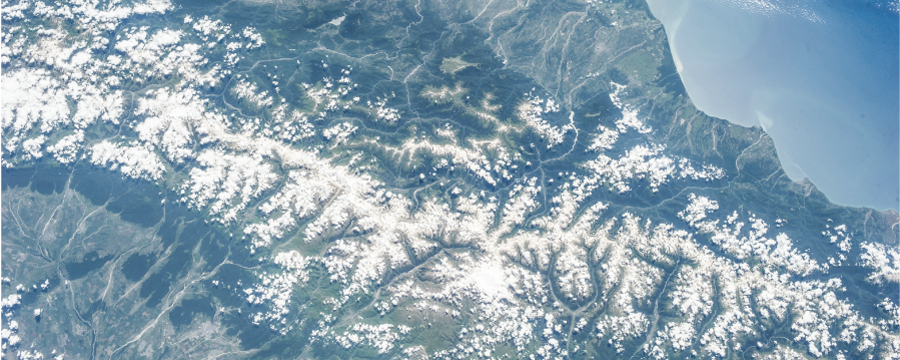
OBSERVE, ACT.
Earth observation is a fundamental pillar of resource management, environmental monitoring and territorial security. At a time when climate change, increasing urbanisation and geopolitical tensions are redefining our priorities, rapid access to accurate data is becoming essential.
THE STRATOSPHERE: A STRATEGIC ZONE
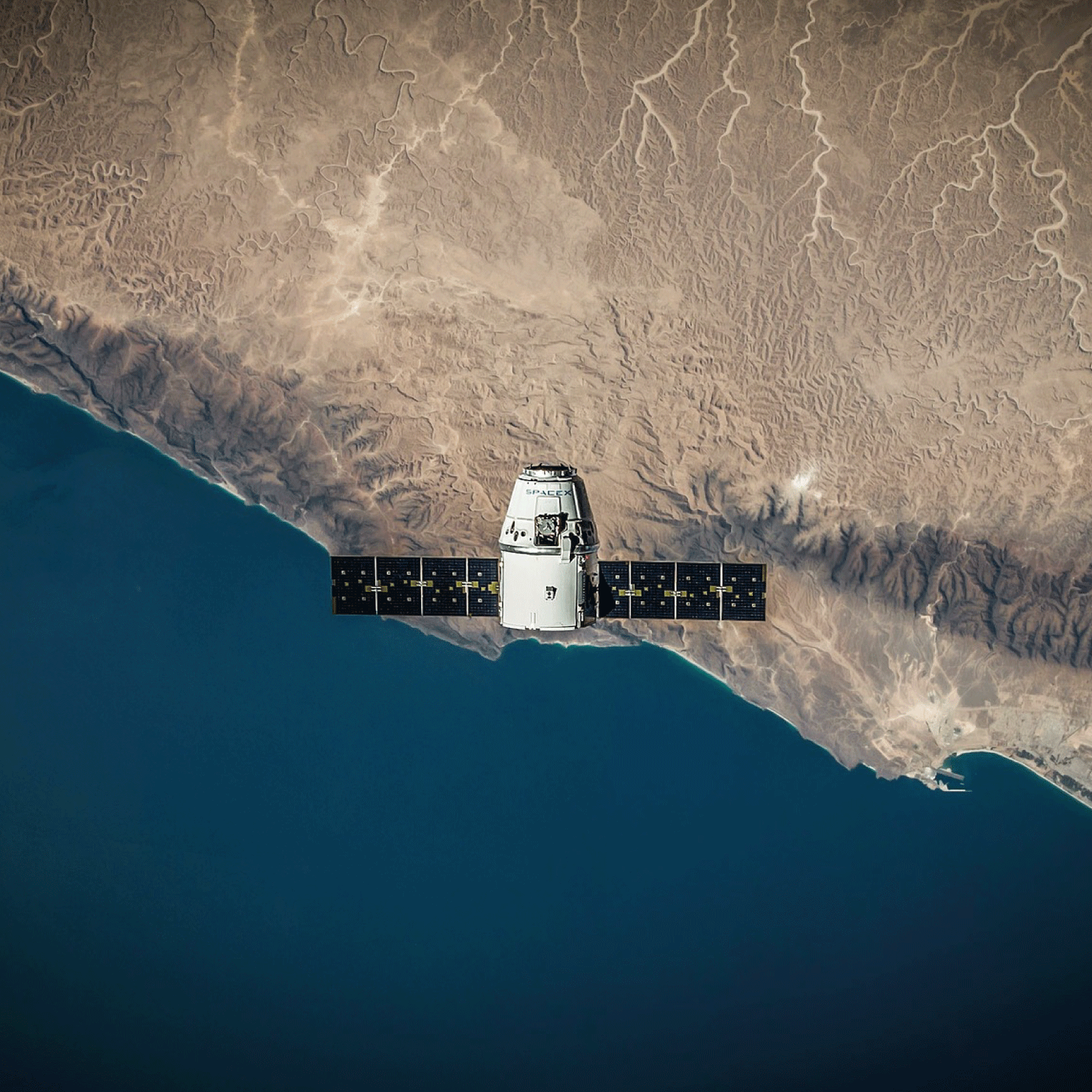
Satellites in orbit provide a global view, but their frequency of passage, cloud cover, and resolution limit observation. Drones and aircraft offer detailed observation but do not provide broad and persistent coverage.

The stratosphere becomes the optimal compromise: a global view that is not subject to orbital constraints, while offering superior resolution and flexibility.

A CHALLENGING ROUTE
However, access is constrained by technological, logistical and regulatory challenges, for which we deploy advanced systems and strict coordination with the aviation authorities.
Our stratospheric balloons are capable of operating at very high altitudes, in hostile environmental conditions (intense cold, low pressure, high UV exposure), while guaranteeing stability and control.
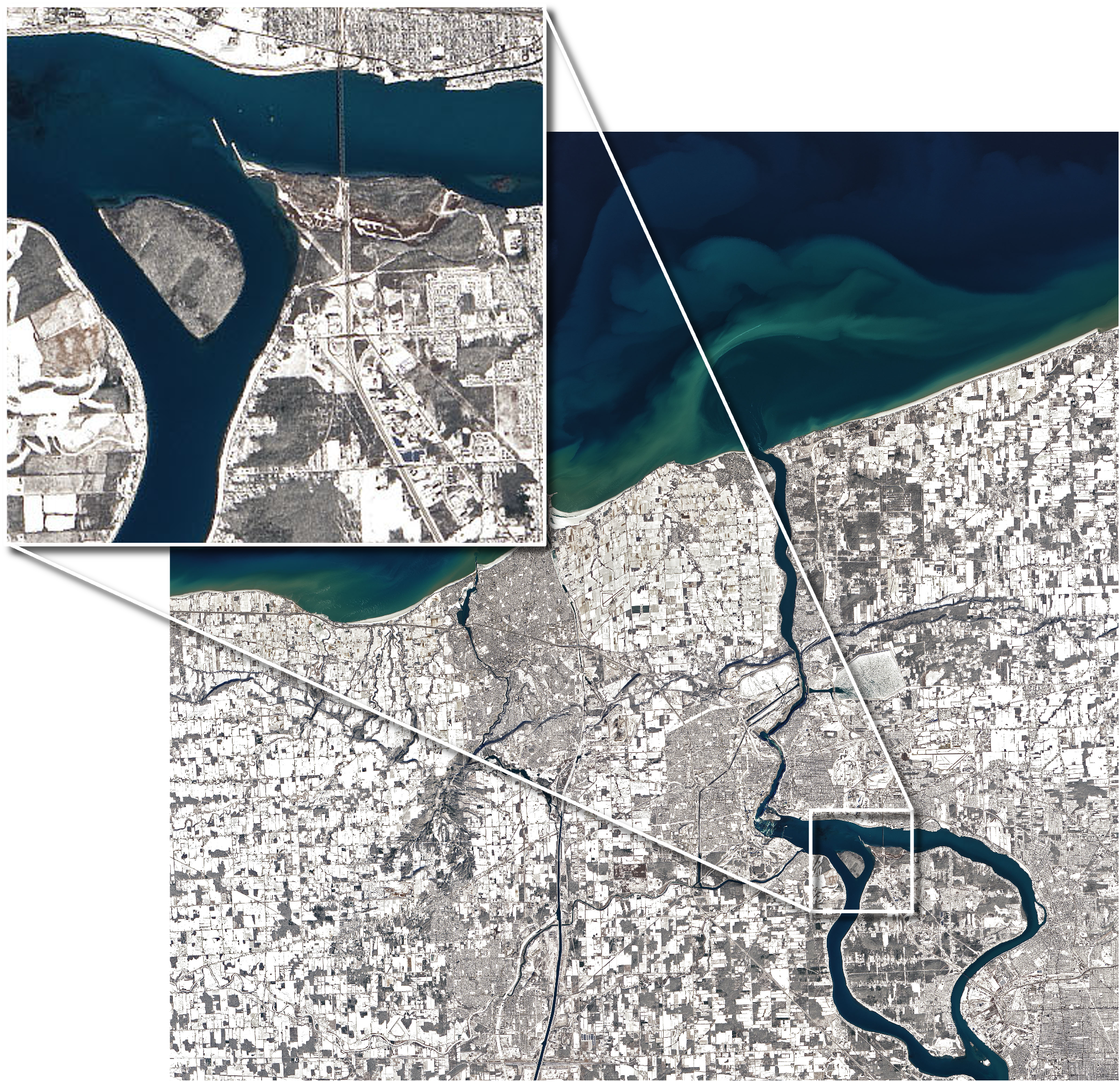
ACCURACY AND DETAIL
Our stratospheric balloons can reach altitudes of up to 35 km, above 98% of the atmosphere. This position offers ideal conditions for imaging and data collection:
On-board operator: Unique on the industry, the presence of an operator means that parameters can be adjusted in real time, ensuring optimum data collection.
Wide, precise coverage: At an altitude high enough to observe entire regions with finer resolution than a satellite.
Long-term observation: Unlike orbiting satellites, our balloons can provide long-term surveillance of a targeted area.
On-board hyperspectral and multispectral sensors: For detailed analysis of soil, vegetation, water and infrastructure, with unrivalled image quality.
USE CASES
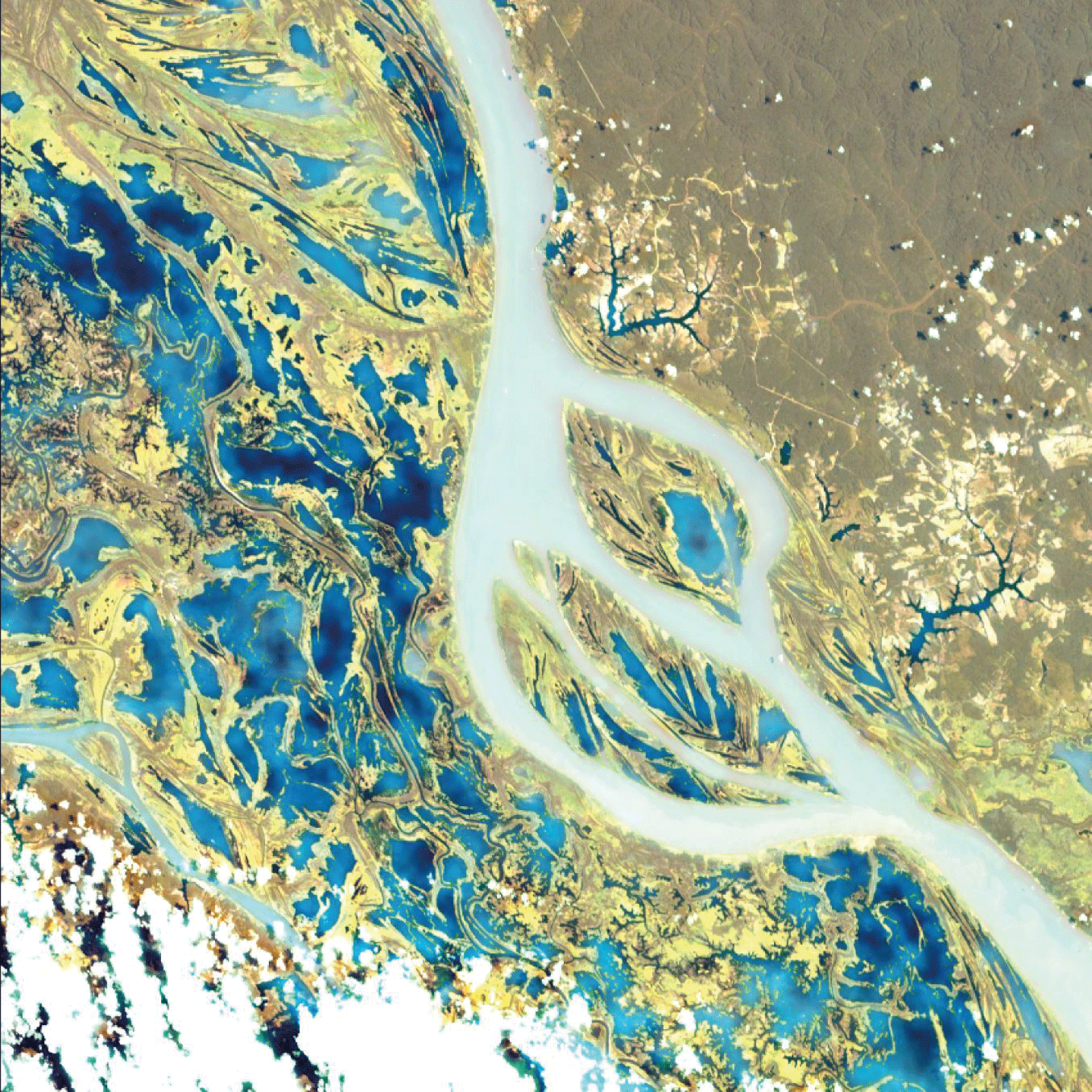
Hyperspectral sensor
A hyperspectral sensor under development, still at an early stage of technological maturity (low TRL), is being taken on board a Zephalto flight to be tested in near-space conditions. Thanks to optimised stabilisation and a direct connection with the on-board operator, the sensor’s parameters can be adjusted in real time to improve its performance. This approach allows for accelerated validation before deployment in orbit, while offering an agile and flexible alternative to traditional space tests.
Satellite recalibration
Stratospheric balloons can serve as a point of comparison for satellites already in orbit. By taking simultaneous measurements from the stratosphere and from space, it is possible to refine the accuracy of the data collected and correct any instrumental biases.
Zephalto can also calibrate transmission systems by acting as a relay between ground stations and orbiting satellites, ensuring better synchronisation of signals and a reduction in transmission errors.

TAKE ACTION
Capture data with unprecedented precision. Operating under orbital cover, our balloons eliminate major atmospheric interference and offer high resolution. Ideal for precision agricultural monitoring, linear infrastructure inspection, or high-density urban mapping.
TAKE ACTION
Capture data with unprecedented precision. Operating under orbital cover, our balloons eliminate major atmospheric interference and offer high resolution. Ideal for precision agricultural monitoring, linear infrastructure inspection, or high-density urban mapping.